Photos
.0IY18_2_e3f2e5b876.jpg) Old Reliable
Old Reliable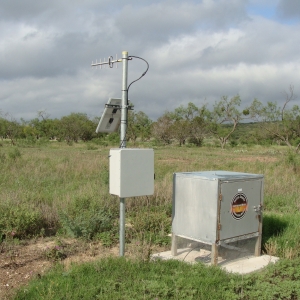 Drought Index Well, on the Dry Devil's River. It has been monitored by sensor since February 2013
.JUKIM_2_23abc43487.jpg) Downloading water level data from an In-Situ sensor.
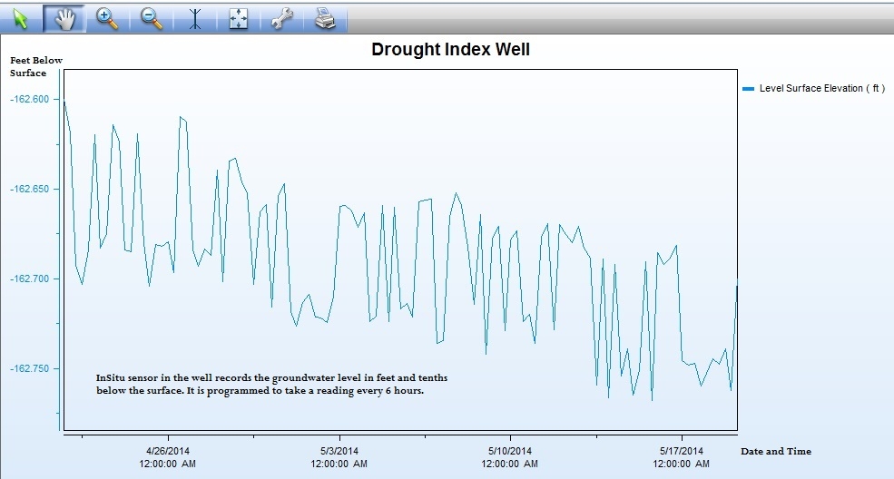
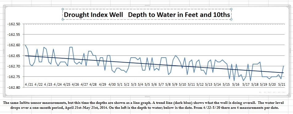
Downloading water level data from an In-Situ sensor.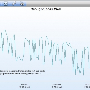 InSitu sensor graph of water level measurements for the Drought Index Well for 4/21-5/21, 2014.
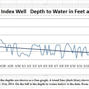 Drought Index Well graph with a trend line added.
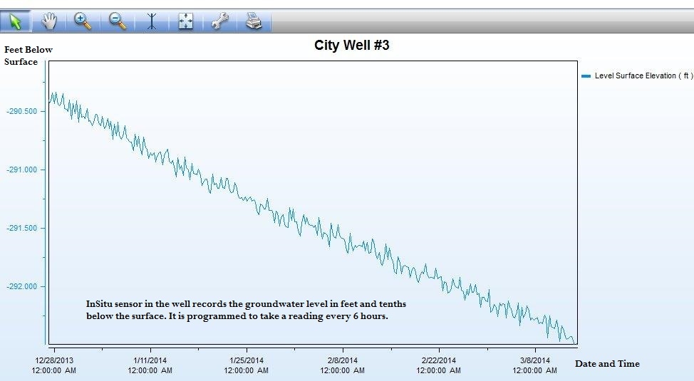
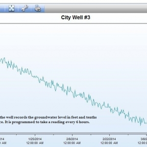 InSitu sensor graph of measurements from City Well #3 for 12/28/2013-3/15/2014.
.YSCME_2_2436f53e9b.jpg) Checking the water level with an E-Line (electric) device
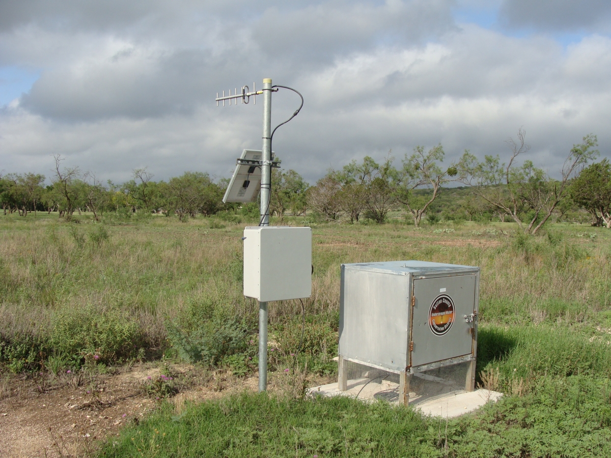
Checking the water level with an E-Line (electric) device.N64PI_2_f005b61f7b.jpg) TWDB Monitored Well via Telemetry, Brockman Ranch
TWDB Monitored Well via Telemetry, Brockman Ranch.IL0SY_2_becef058f5.jpg) Downloading data from an automatic rain guage.
Downloading data from an automatic rain guage..76NXJ_2_2618a17f43.jpg) Setting up to video record a well on the Ross ranch
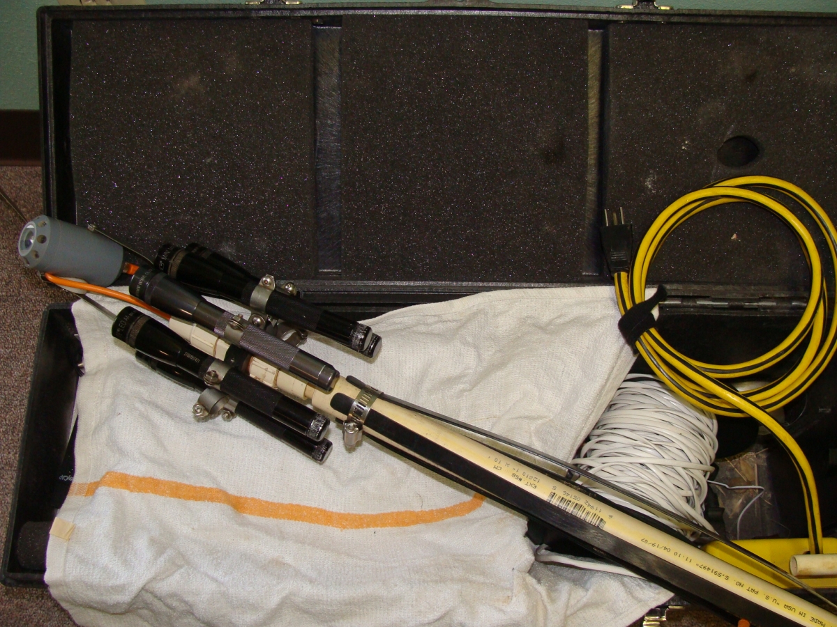
Setting up to video record a well on the Ross ranch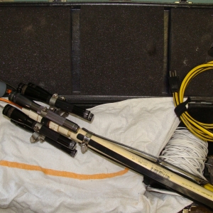 Downhole camera, partially assembled, lying in open case.
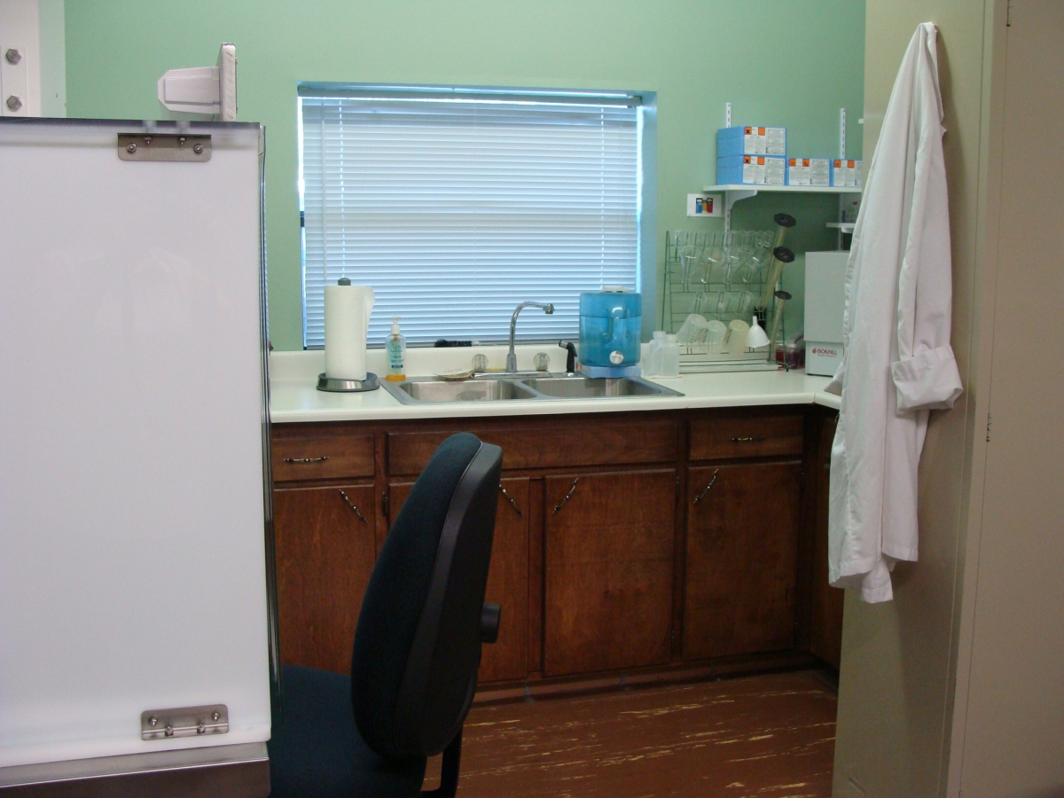
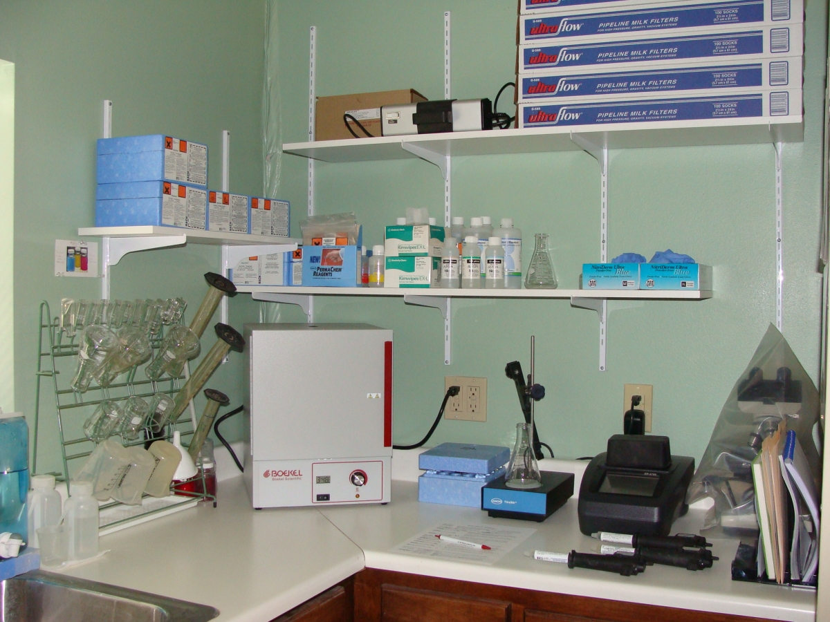
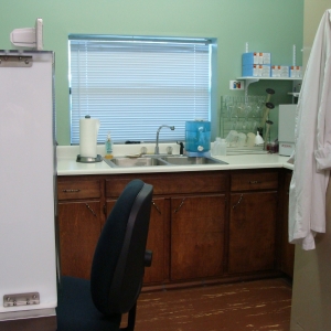 Water District Laboratory at the office in Sonora.
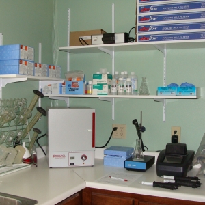 North wall of the lab, used for water sample analysis.
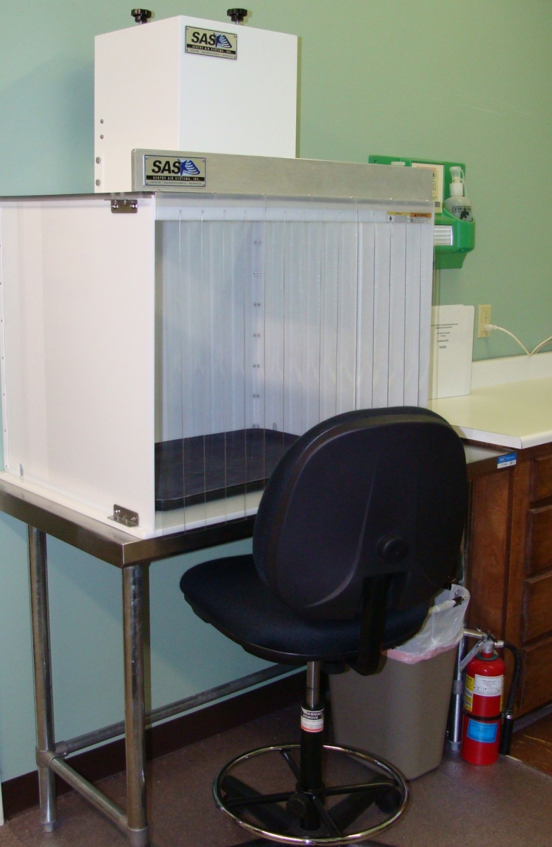
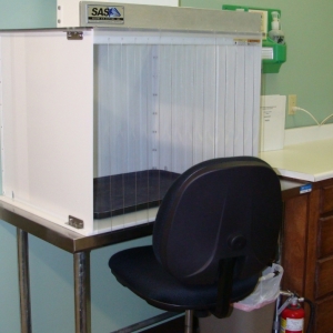 Fume hood, South wall of lab. Used for processing dye study charcoal samples.
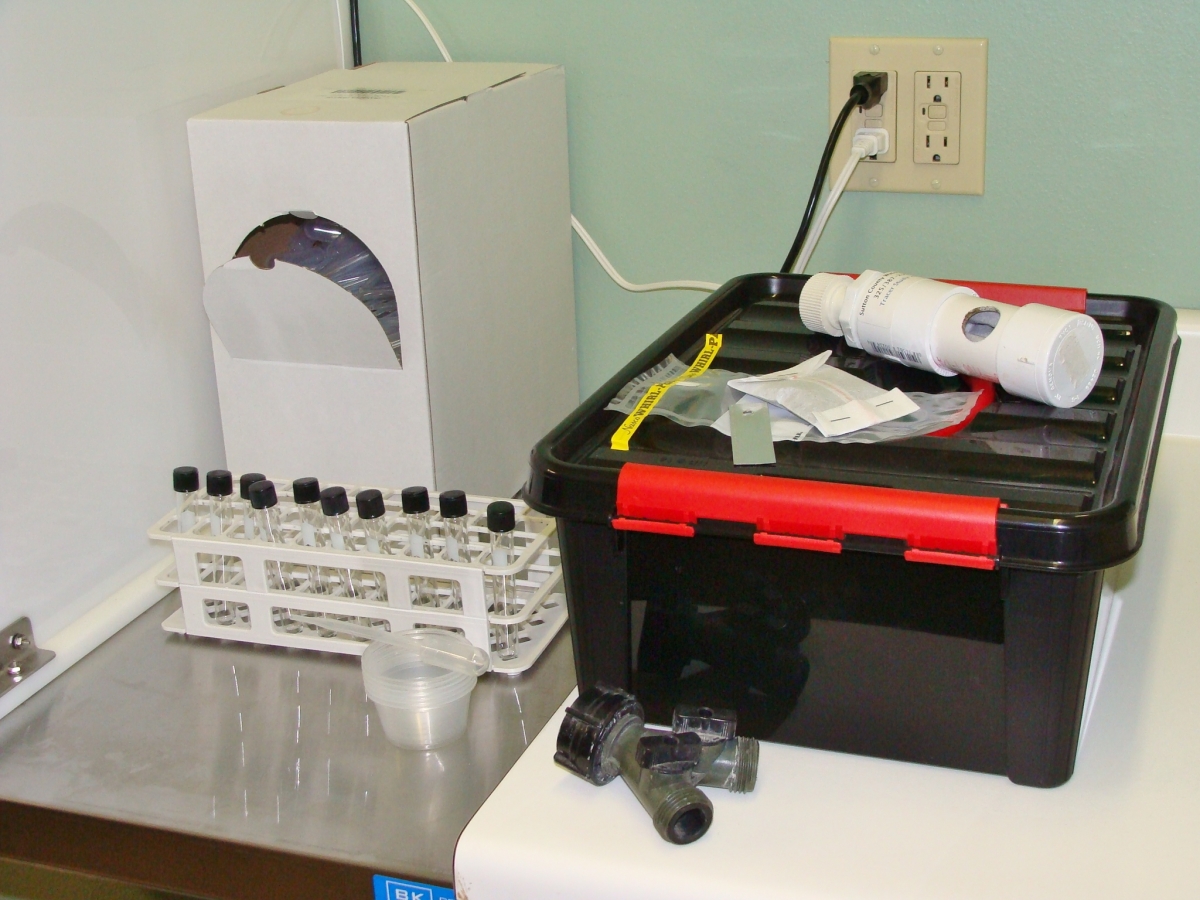
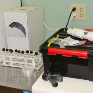 Some of the equipment used for the dye study--charcoal packet and faucet fitting, lab supplies.
.MV376_2_9a78575913.jpg) Annual SISD 6th grade field trip to the Sawyer ranch-2010/Water Bingo
Annual SISD 6th grade field trip to the Sawyer ranch-2010/Water Bingo.3L0A8_3_b43d764402.jpg) Example of a recharge well.
Example of a recharge well..L6PKP_2_dc91d5dc3a.jpg) Another recharge well.
Another recharge well..RA0GW_2_eee95c33b4.jpg) Now for the good news, 4-15-10 was also recharge day
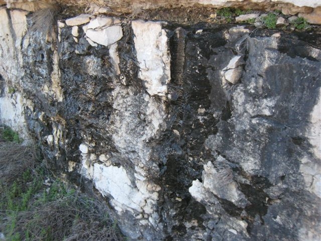
Now for the good news, 4-15-10 was also recharge day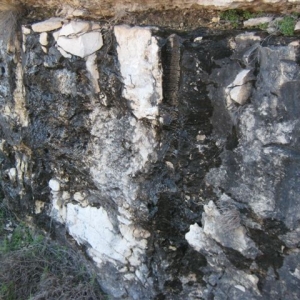 Groundwater coming from fissures in a road cut.
.DARFE_2_f218b78e1e.jpg) Deep within the Caverns of Sonora, a fault line runs SW to NE
Deep within the Caverns of Sonora, a fault line runs SW to NE.KTT5X_2_944f15e906.jpg) Science project that shows how rapidly water can enter the recharge zone
Science project that shows how rapidly water can enter the recharge zone.5CR9A_2_ac95f598d2.jpg) Pecan Springs, Eastern Sutton Co.
Pecan Springs, Eastern Sutton Co..5TCV9_2_f460e26017.jpg) North Llano, S.E. Sutton Co.
North Llano, S.E. Sutton Co.
.0IY18_2.jpg)
.JUKIM_2.jpg)
.YSCME_2.jpg)
.N64PI_2.jpg)
.IL0SY_2.jpg)
.76NXJ_2.jpg)
.MV376_2.jpg)
.3L0A8_3.jpg)
.L6PKP_2.jpg)
.RA0GW_2.jpg)
.DARFE_2.jpg)
.KTT5X_2.jpg)
.5CR9A_2.jpg)
.5TCV9_2.jpg)